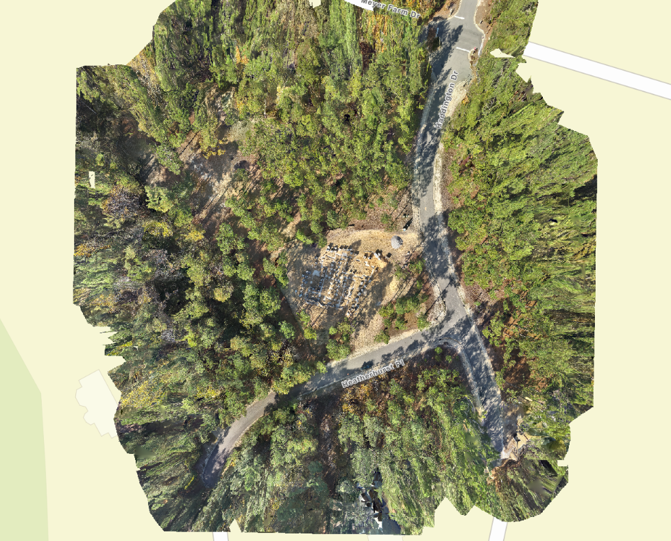
transform your project site or property into a detailed, interactive 3D model or a high-resolution orthomosaic map that provides unparalleled accuracy and insight. Drone 3D modeling and orthomosaics allow you to visualize and analyze complex environments from a new perspective. Whether you’re in construction or real estate, this technology offers a powerful tool for planning, monitoring progress, or showcasing your site. By utilizing drone-generated models and maps, you can enhance project efficiency, improve decision-making, and deliver an impressive, data-rich experience to your clients or stakeholders.


